
GPR badger survey
GPR maps the tunnels and chambers of a badger sett from the surface, without digging. It shows how far a sett extends so your ecologist and planners can work from evidence.
What the survey finds
When you need a badger sett survey
Badgers and their setts are protected by the Protection of Badgers Act 1992. Work that could damage or disturb a sett may need a licence from Natural England or the relevant authority. Before development or a change of land use, you need to know where a sett is and how far its tunnels run.
A GPR survey is used:
- to map the size of a known sett
- to trace tunnels running away from a sett towards a development area
- to show that a given area has no sign of tunnelling
- to support an ecologist's assessment and a licence application
What the survey finds
Tunnels and chambers are air-filled spaces in the soil, and they reflect the radar signal clearly. Mapping these across the area shows the layout and extent of the sett. Ground with no sign of tunnelling is also shown, which can give confidence for planning decisions.
How it is done
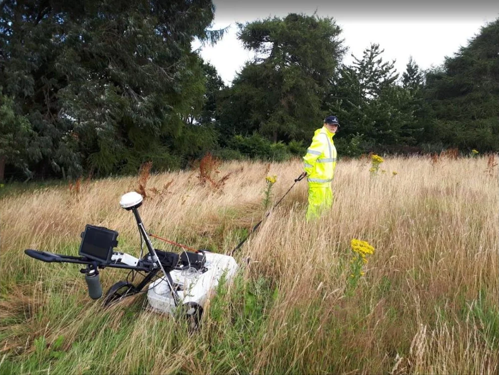
We scan the ground in lines from the surface, keeping a careful distance from entrances. The equipment is quiet and is moved by hand, with no digging. Most surveys are completed in a single shift on site, followed by office processing and interpretation. You receive a CAD drawing and a report that your ecologist can use.
Working with your ecologist
A GPR survey does not replace the badger survey, sometimes called a badger protection survey, carried out by a qualified ecologist. It supports that survey by adding information about what is happening below ground. We recommend agreeing the survey area and timing with your ecologist, and following their advice on working near the sett.
Limits you should know about
Dense vegetation, tree roots and steep banks limit where we can scan, and setts are often in exactly these places. Wet clay reduces the depth GPR can see. Collapsed or backfilled tunnels may not show. The report states which areas were covered and how confident the results are.
Why use GPR
- No digging, and no disturbance to the sett from excavation.
- Evidence of sett extent to support planning and licensing.
- Helps avoid accidental damage to tunnels during works.
- Results presented clearly for ecologists and planners.
Questions we're asked
How large are badger setts?
Setts vary widely. A large main sett can have many entrances and tunnels spreading well beyond the entrances you can see. Tunnels are often a metre or more below the surface.
Where are badger setts found?
Usually in well-drained ground among tree roots, bushes and dense vegetation, which give cover. They can also be found in open grassland and in both sandy and clay soils. They are less likely in hard or rocky ground.
What should I do if a badger sett is on my site?
Speak to an ecologist first. A GPR survey can then show how far the sett extends. If work near the sett cannot be avoided, a licence from Natural England or the relevant authority will be needed.
How long does a badger sett survey take?
Most surveys are completed within one day on site, followed by data processing in the office before the drawing and report are issued.
When should a badger sett be surveyed?
Before any development or change of land use where there is evidence of badger activity, and in line with your ecologist's advice on timing.
How much does a badger sett survey cost?
It depends on the location, the size of the area and the amount of processing needed. Contact us for a quotation for your site.