
Pavement survey
A GPR pavement survey measures the thickness of each layer in a road, car park or runway along continuous lines. It shows where construction changes and where to core or repair.
What the survey finds
When you need a pavement survey
A pavement survey tells you how a road or paved area is built before you design repairs, resurface or change its use. It is used:
- to plan highway resurfacing, overlay or reconstruction schemes
- to check construction against design or specification
- to investigate rutting, cracking or failed areas
- before increasing loads on a yard or car park
- to decide where cores and trial pits will be most useful
What the survey finds
GPR detects the boundaries between pavement layers. From these we measure the thickness of asphalt, concrete and sub-base along each survey line, and show where the construction changes. GPR can also indicate areas of raised moisture, and detect voids and delamination between layers. These are flagged for further, intrusive investigation.
How it is done
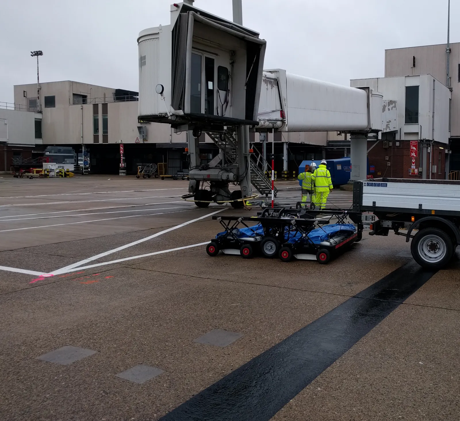
We run GPR along survey lines across the area, positioned so the results can be plotted on a plan. The data is processed and interpreted in the office. Where cores already exist, or are taken alongside the survey, we use them to calibrate depths. You receive a CAD drawing showing layer thickness and changes in construction, and a report.
GPR or coring?
A core gives an exact thickness, but only at one point, and it damages the surface. GPR gives a continuous profile with no damage. The best approach is usually GPR first, followed by a small number of cores at the locations the survey shows to be most useful.
Limits you should know about
Thin layers of similar material can be hard to separate. Wet or saline sub-base reduces the depth we can see. Moisture readings are indications, not measurements, and should be confirmed by sampling where they matter. Working on live roads needs traffic management, which we can arrange or work alongside. For long road lengths, we can hire in vehicle-mounted GPR so the data can be collected quickly with less disruption.
Why use GPR
- No damage to the road or runway surface.
- Continuous information instead of isolated points.
- Fewer cores, and those cores are better targeted.
- Less disruption than an extensive coring programme.
We have surveyed pavements for large construction companies and infrastructure projects, and as a subcontractor for other surveying firms.
Questions we're asked
Can GPR measure asphalt thickness?
Yes. GPR detects the base of the asphalt and the layers beneath. Calibrating against a core or a known depth improves accuracy across the survey.
Can GPR replace coring?
Not entirely. GPR covers the whole area and shows where things change. A few cores confirm the materials and calibrate the depths.